- Home
- Four towns
- Lyndhurst
Lyndhurst, NJ
Roofing in Lyndhurst, NJ: Meadowlands Water and Roof Runoff
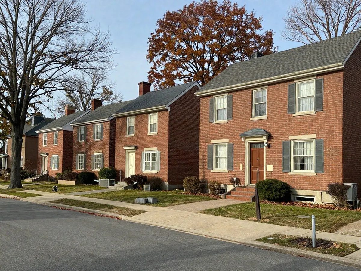
About half of Lyndhurst's land lies in the mapped floodplain, which makes it worth tracing where roof water goes after it leaves the roof. For a spilling gutter or a wet basement wall, start with gutters and downspouts; for a stain on the ceiling, roof repair. Next step: call __PHONE_DISPLAY__ and say which wall or gutter is wet.
About the homes
The Census Bureau's 2020-2024 estimate counts 9,704 homes in Lyndhurst township, with a median year built of 1956 (give or take 3 years). Detached houses make up 4,063 of them, 41.9 percent, two-unit buildings 2,884 and buildings with three or four units 600. Of 9,208 occupied homes, 3,718 are rented, or 40.4 percent, the lowest renter share among North Arlington, Kearny, Lyndhurst and Belleville.
Around town
Between the Passaic and the Meadowlands
The township hall is at 367 Valley Brook Ave. The Passaic River forms Lyndhurst's western border, and the eastern part is uninhabited Meadowlands wetland. Lyndhurst touches North Arlington, Kearny and Belleville, as well as Rutherford, Nutley, Secaucus and Clifton.
What neighbors ask
How much of Lyndhurst sits in the floodplain?
Bergen County's 2026 hazard plan counts 1,618.43 of the township's 3,178.68 acres, 50.92 percent, in the 1 percent annual-chance floodplain, and notes that parts of Lyndhurst are affected by coastal flooding from Hackensack River surges.
How hard did Ida rain on Lyndhurst?
The New Jersey Weather and Climate Network logged 3.58 inches in Lyndhurst in the single hour ending 9:30 PM, during Ida's passage on 1 and 2 September 2021. North Arlington's station recorded 9.02 inches over the two days, and Newark Airport 8.44.
Who can call about a Lyndhurst roof?
Property owners and landlords can call __PHONE_DISPLAY__ with the address, the roof's age and what shows from the ground. A renter asks the landlord or property manager before anything else. If something feels dangerous, 911 comes first.
What goes wrong here
Roof trouble that follows water in Lyndhurst
Runoff on wet ground.
Bergen County's hazard plan puts 1,618.43 of Lyndhurst's 3,178.68 acres, 50.92 percent, in the mapped 1 percent annual-chance floodplain. A downspout that empties beside a foundation adds to ground that is already wet; see gutters and downspouts.
Short, hard rain.
During Ida, Lyndhurst recorded 3.58 inches in the single hour ending 9:30 PM. An hour like that tests every valley, drain and gutter corner on the roof.
Ice at the eaves.
The January normals at Teterboro Airport show about 16 days that dip below freezing overnight and climb above it by afternoon; see ice dams.
Where the facts come from (8)
- U.S. Census Bureau, ACS 2020-2024 5-year, table B25035 (median year built), Lyndhurst township
- U.S. Census Bureau, ACS 2020-2024 5-year, table B25003 (tenure), Lyndhurst township
- U.S. Census Bureau, ACS 2020-2024 5-year, table B25024 (units in structure), Lyndhurst township
- Township of Lyndhurst, official website (367 Valley Brook Ave)
- Bergen County, 2026 Hazard Mitigation Plan, Section 4 Risk Assessment (Table 4.6-1)
- NJ Weather and Climate Network, Remnants of Ida strike New Jersey
- Wikipedia, Lyndhurst, New Jersey (neighboring municipalities, Meadowlands)
- NOAA NCEI, 1991-2020 monthly climate normals, Teterboro Airport, NJ (station USW00094741)
Checked 1 Nov 2026